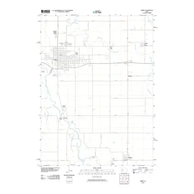
2010 Map of Perry
USGS Topo · Published 2010About this map
The North Raccoon River and Beaver Creek define the agricultural and rail landscape of this Dallas County region. Perry serves as the primary hub, where the significant Perry Yard rail infrastructure meets the local street grid. The town is surrounded by numerous burial grounds, including the large Violet Hill Cemetery and Saint Patrick's Cemetery to the north, and Valleyview Cemetery and Mowrer Cemetery to the west, providing a detailed record for genealogical study. Smaller satellite communities like Bouton, Gardiner, and Minburn are connected by a rigid section-line road network, while the river valley offers natural breaks in the grid with features like the Graney Bridge and Spring Valley Public Access. The inclusion of the Bouton Post Office and Minburn Post Office highlights the ongoing role of these small towns as local service centers within the township.
Find a feature on this map
51 named features on this map. Tap any name to fly to it.
Don’t see what you’re looking for? This feature index may not catch every label — zoom into the map to look around manually.
Map Details
Editions of this 2010 Perry Map
This is the sole edition of this map. No revisions or reprints were ever made.
Other maps of this area

1908 · Waukee
USGS Topo · 1:62,500

1911 · Madrid
USGS Topo · 1:62,500

1914 · Madrid
USGS Topo · 1:62,500

1949 · Adel
USGS Topo · 1:62,500

1950 · Perry
USGS Topo · 1:62,500

1951 · Perry
USGS Topo · 1:62,500

1951 · Adel
USGS Topo · 1:62,500

1954 · Omaha
USGS Topo · 1:250,000

1954 · Des Moines
USGS Topo · 1:250,000

1956 · Des Moines
USGS Topo · 1:250,000