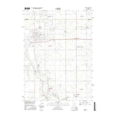
2015 Map of Perry
USGS Topo · Published 2015About this map
The North Raccoon River winds through the southwestern corner of this Dallas County landscape, defining the local topography as it flows toward Minburn. In the northern section, the city of Perry serves as a primary hub of settlement, with a dense street grid featuring Bateman St, Paul St, and Center St. The surrounding agricultural countryside is dotted with small rural communities like Bouton and Gardiner, as well as numerous local burial grounds including Violet Hill Cem, Saint Patrick's Cem, and Mowrer Cem. The map reveals a highly structured environment defined by a rigid section-line road network, where landmarks like the Beaver Creek Bridge and Graney Bridge facilitate movement across the area's many waterways, such as Beaver Cr and Slough Cr. This document provides a record of land use and civil boundaries at the junction of Boone and Dallas counties.
Find a feature on this map
60 named features on this map. Tap any name to fly to it.
Don’t see what you’re looking for? This feature index may not catch every label — zoom into the map to look around manually.
Map Details
Editions of this 2015 Perry Map
This is the sole edition of this map. No revisions or reprints were ever made.
Other maps of this area

1908 · Waukee
USGS Topo · 1:62,500

1911 · Madrid
USGS Topo · 1:62,500

1914 · Madrid
USGS Topo · 1:62,500

1949 · Adel
USGS Topo · 1:62,500

1950 · Perry
USGS Topo · 1:62,500

1951 · Perry
USGS Topo · 1:62,500

1951 · Adel
USGS Topo · 1:62,500

1954 · Omaha
USGS Topo · 1:250,000

1954 · Des Moines
USGS Topo · 1:250,000

1956 · Des Moines
USGS Topo · 1:250,000