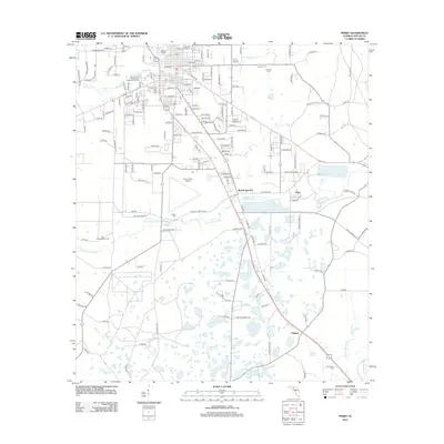
2012 Map of Perry
USGS Topo · Published 2012About this map
The Fenholloway River and its numerous associated springs and wetlands dominate this 2012 topography of Taylor County. To the east of the main town area, the settlements of Foley and Bucell Junction reflect the industrial and transport history of the region. The landscape is dotted with small family and community burial grounds, including Wilcox Cem, Spring Hill Cem, and the Carlton Cem, which provide essential clues for genealogical research in north Florida.
Find a feature on this map
74 named features on this map. Tap any name to fly to it.
Don’t see what you’re looking for? This feature index may not catch every label — zoom into the map to look around manually.
Map Details
Editions of this 2012 Perry Map
This is the sole edition of this map. No revisions or reprints were ever made.
Other maps of this area

1952 · Secotan
USGS Topo · 1:24,000

1954 · Fenholloway
USGS Topo · 1:24,000

1954 · Warrior Swamp
USGS Topo · 1:24,000

1954 · Salem
USGS Topo · 1:24,000

1954 · Boyd
USGS Topo · 1:24,000

1954 · Hampton Springs
USGS Topo · 1:24,000

1954 · Secotan
USGS Topo · 1:24,000

1954 · Day NW
USGS Topo · 1:24,000

1954 · Okefenokee Slough
USGS Topo · 1:24,000

1954 · Gainesville
USGS Topo · 1:250,000