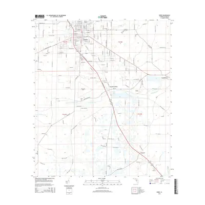
2015 Map of Perry
USGS Topo · Published 2015About this map
Perry serves as the primary hub of this North Florida landscape, where the town grid meets an extensive network of rural roads and timbered wetlands. The surrounding area is dotted with small settlements such as Foley, Fenholloway, and Pinland, each linked by the winding courses of the Fenholloway River and Spring Creek. The map reveals a distinct pattern of local history through its numerous burial grounds, ranging from Wilcox Cemetery and Pineview Memorial Gardens in the north to the more isolated New Hope Cemetery in the south. Aviation and industry are represented by the Perry-Foley Airport and Bucell Junction, highlighting the region's mid-century economic infrastructure. Natural springs like Carlton Spring and Atlantic Camp Ground Spring emphasize the karst topography of Taylor County, providing clear focal points amidst the swamps and pine flatwoods.
Find a feature on this map
162 named features on this map. Tap any name to fly to it.
Don’t see what you’re looking for? This feature index may not catch every label — zoom into the map to look around manually.
Map Details
Editions of this 2015 Perry Map
This is the sole edition of this map. No revisions or reprints were ever made.
Other maps of this area

1952 · Secotan
USGS Topo · 1:24,000

1954 · Fenholloway
USGS Topo · 1:24,000

1954 · Warrior Swamp
USGS Topo · 1:24,000

1954 · Salem
USGS Topo · 1:24,000

1954 · Boyd
USGS Topo · 1:24,000

1954 · Hampton Springs
USGS Topo · 1:24,000

1954 · Secotan
USGS Topo · 1:24,000

1954 · Day NW
USGS Topo · 1:24,000

1954 · Okefenokee Slough
USGS Topo · 1:24,000

1954 · Gainesville
USGS Topo · 1:250,000