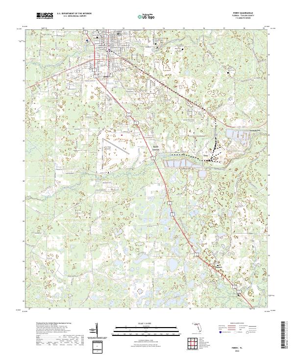
2024 Map of Perry
USGS Topo · Published 2024About this map
The Taylor County Courthouse serves as the focal point of Perry, where a dense grid of streets like W Main St and S Bryant St transitions into the surrounding timberlands and wetlands of Taylor County. This modern survey illustrates the persistent importance of the town as a regional hub, connected to outlying points like Foley and Bucell Junction via a network of state and local roads. The landscape is defined by the winding course of the Fenholloway River and the expansive Warrior Swamp to the south, highlighting the environmental character of this Gulf Coast interior region.
Find a feature on this map
171 named features on this map. Tap any name to fly to it.
Don’t see what you’re looking for? This feature index may not catch every label — zoom into the map to look around manually.
Map Details
Editions of this 2024 Perry Map
This is the sole edition of this map. No revisions or reprints were ever made.
Other maps of this area

1952 · Secotan
USGS Topo · 1:24,000

1954 · Fenholloway
USGS Topo · 1:24,000

1954 · Warrior Swamp
USGS Topo · 1:24,000

1954 · Salem
USGS Topo · 1:24,000

1954 · Boyd
USGS Topo · 1:24,000

1954 · Hampton Springs
USGS Topo · 1:24,000

1954 · Secotan
USGS Topo · 1:24,000

1954 · Day NW
USGS Topo · 1:24,000

1954 · Okefenokee Slough
USGS Topo · 1:24,000

1954 · Gainesville
USGS Topo · 1:250,000