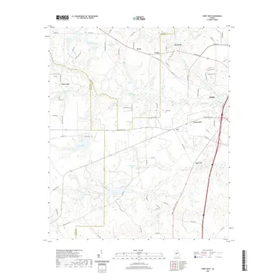
2020 Map of Perry West
USGS Topo · Published 2020About this map
Myrtle and Clopine anchor the rural landscape west of Perry in this 2020 study of the Georgia coastal plain. The terrain is defined by its sophisticated water management and drainage networks, featuring numerous named private lakes such as Louis Newberry Lake, John Schofield Lake, and Lake Blue Bird that suggest a history of agricultural and residential development along the county lines.
Find a feature on this map
81 named features on this map. Tap any name to fly to it.
Don’t see what you’re looking for? This feature index may not catch every label — zoom into the map to look around manually.
Map Details
Editions of this 2020 Perry West Map
This is the sole edition of this map. No revisions or reprints were ever made.
Other maps of this area

1956 · Fort Valley
USGS Topo · 1:62,500

1956 · Perry
USGS Topo · 1:62,500

1956 · Warner Robins
USGS Topo · 1:62,500

1957 · Macon
USGS Topo · 1:250,000

1958 · Macon
USGS Topo · 1:250,000

1964 · Macon
USGS Topo · 1:250,000

1971 · Henderson
USGS Topo · 1:24,000
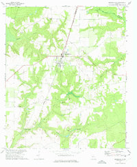
1972 · Marshallville
USGS Topo · 1:24,000
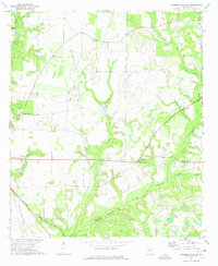
1972 · Marshallville SW
USGS Topo · 1:24,000

1972 · Perry West
USGS Topo · 1:24,000