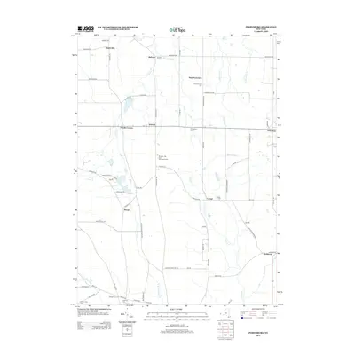
2013 Map of Perrysburg
USGS Topo · Published 2013About this map
Silver Cr and its tributaries, including Wheeler Brook and Slab City Cr, carve through this section of Western New York, defining a landscape marked by small agricultural settlements and rural intersections. The area around Perrysburg and West Perrysburg reflects a long history of local residency, evidenced by numerous burial grounds such as Balltown Cem and Cottage Cem. Small-scale farming remains central to the region's character, with labeled properties like Hanova Hill Farm and Blueberry Hill Farm And Greenhouse situated among the winding routes of Nashville Rd and Alleghany Rd. The southern portion of the sheet transitions toward the N Br Conewango Cr watershed, where the hamlet of Wango and Villenova Cem sit near the border of Chautauqua and Cattaraugus counties, illustrating the persistence of these early nineteenth-century hamlets into the modern era.
Find a feature on this map
71 named features on this map. Tap any name to fly to it.
Don’t see what you’re looking for? This feature index may not catch every label — zoom into the map to look around manually.
Map Details
Editions of this 2013 Perrysburg Map
This is the sole edition of this map. No revisions or reprints were ever made.
Other maps of this area

1899 · Silver Creek
USGS Topo · 1:62,500

1900 · Cherry Creek
USGS Topo · 1:62,500

1905 · Eden
USGS Topo · 1:62,500

1907 · Eden
USGS Topo · 1:62,500

1923 · Cattaraugus
USGS Topo · 1:62,500

1938 · Cattaraugus
USGS Topo · 1:62,500

1941 · Cattaraugus
USGS Topo · 1:62,500

1941 · Cherry Creek
USGS Topo · 1:62,500

1943 · Silver Creek
USGS Topo · 1:24,000

1944 · Eden
USGS Topo · 1:62,500