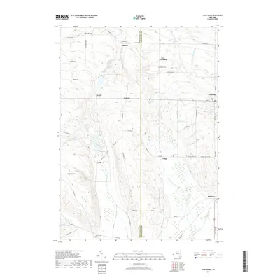
2019 Map of Perrysburg
USGS Topo · Published 2019About this map
The county line between Chautauqua Co and Cattaraugus Co divides this rural landscape, defined by a network of small hamlets and cemeteries. Settlement centers like Perrysburg and Nashville are linked by historic thoroughfares such as Alleghany Rd and Nashville Rd. The terrain is deeply etched by a series of waterways flowing toward Lake Erie, including Silver Creek and the winding Slab City Creek.
Find a feature on this map
65 named features on this map. Tap any name to fly to it.
Don’t see what you’re looking for? This feature index may not catch every label — zoom into the map to look around manually.
Map Details
Editions of this 2019 Perrysburg Map
This is the sole edition of this map. No revisions or reprints were ever made.
Other maps of this area

1899 · Silver Creek
USGS Topo · 1:62,500

1900 · Cherry Creek
USGS Topo · 1:62,500

1905 · Eden
USGS Topo · 1:62,500

1907 · Eden
USGS Topo · 1:62,500

1923 · Cattaraugus
USGS Topo · 1:62,500

1938 · Cattaraugus
USGS Topo · 1:62,500

1941 · Cattaraugus
USGS Topo · 1:62,500

1941 · Cherry Creek
USGS Topo · 1:62,500

1943 · Silver Creek
USGS Topo · 1:24,000

1944 · Eden
USGS Topo · 1:62,500