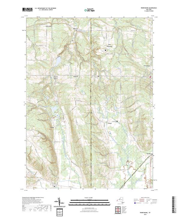
2023 Map of Perrysburg
USGS Topo · Published 2023About this map
The divide between Chautauqua and Cattaraugus counties centers this study of Western New York, where the uplands give way to the drainages of Silver Creek and North Branch Conewango Creek. The settlement pattern reflects a deeply rooted agricultural landscape, anchored by small hamlets such as Smith Mills, Nashville, and Wango. These communities are often marked by small family and township burial grounds, including the Balltown Cem and Rugg Town Cem, which offer significant data points for genealogists tracing early residents of the region.
Find a feature on this map
62 named features on this map. Tap any name to fly to it.
Don’t see what you’re looking for? This feature index may not catch every label — zoom into the map to look around manually.
Map Details
Editions of this 2023 Perrysburg Map
This is the sole edition of this map. No revisions or reprints were ever made.
Other maps of this area

1899 · Silver Creek
USGS Topo · 1:62,500

1900 · Cherry Creek
USGS Topo · 1:62,500

1905 · Eden
USGS Topo · 1:62,500

1907 · Eden
USGS Topo · 1:62,500

1923 · Cattaraugus
USGS Topo · 1:62,500

1938 · Cattaraugus
USGS Topo · 1:62,500

1941 · Cattaraugus
USGS Topo · 1:62,500

1941 · Cherry Creek
USGS Topo · 1:62,500

1943 · Silver Creek
USGS Topo · 1:24,000

1944 · Eden
USGS Topo · 1:62,500