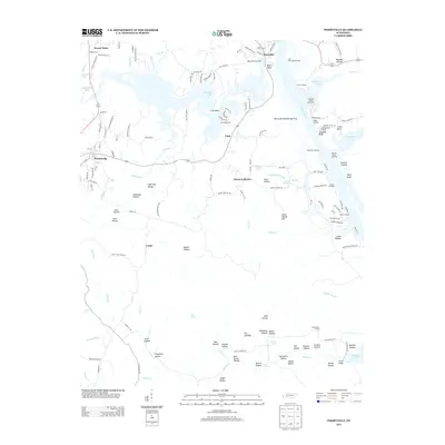
2013 Map of Perryville
USGS Topo · Published 2013About this map
Kentucky Lake dominates this western Tennessee landscape, defining the industrial and recreational character of the riverfront through numerous docks and landings. The eastern shore of the Tennessee River is marked by Beech River Landing, Blunts Landing, and East Perryville Landing, reflecting the area's enduring reliance on the water. Inland, the terrain is deeply dissected by a network of hollows, such as Stillhouse Hollow and Lightning Hollow, which speak to the historic subsistence and secluded activity of the rural backcountry.
Find a feature on this map
150 named features on this map. Tap any name to fly to it.
Don’t see what you’re looking for? This feature index may not catch every label — zoom into the map to look around manually.
Map Details
Editions of this 2013 Perryville Map
This is the sole edition of this map. No revisions or reprints were ever made.
Other maps of this area

1905 · Waynesboro
USGS Topo · 1:125,000

1936 · Pine View
USGS Topo · 1:24,000

1936 · Scotts Hill
USGS Topo · 1:24,000

1936 · Parsons
USGS Topo · 1:24,000

1936 · Thurman
USGS Topo · 1:24,000

1936 · Bath Springs
USGS Topo · 1:24,000

1936 · Clifton
USGS Topo · 1:24,000

1936 · Jeannette
USGS Topo · 1:24,000

1936 · Perryville
USGS Topo · 1:24,000

1936 · Pope
USGS Topo · 1:24,000