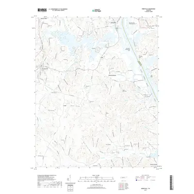
2019 Map of Perryville
USGS Topo · Published 2019About this map
Kentucky Lake and the Tennessee River dominate this 2019 survey, illustrating the significant land and water management required in this part of West Tennessee. Large specialized zones like the East Perryville Dewatering Area and the Perryville Dewatering Area reflect the modern engineering used to manage the floodplain. The landscape is deeply incised by countless hollows, including Stillhouse Hollow, Mozier Hollow, and Slabtown Hollow, which speak to the rural residential patterns that have persisted for generations.
Find a feature on this map
145 named features on this map. Tap any name to fly to it.
Don’t see what you’re looking for? This feature index may not catch every label — zoom into the map to look around manually.
Map Details
Editions of this 2019 Perryville Map
This is the sole edition of this map. No revisions or reprints were ever made.
Other maps of this area
1905 · Waynesboro
USGS Topo · 1:125,000
1936 · Pine View
USGS Topo · 1:24,000
1936 · Scotts Hill
USGS Topo · 1:24,000
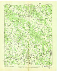
1936 · Parsons
USGS Topo · 1:24,000
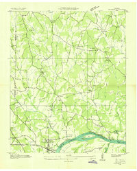
1936 · Thurman
USGS Topo · 1:24,000
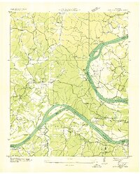
1936 · Bath Springs
USGS Topo · 1:24,000
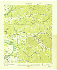
1936 · Clifton
USGS Topo · 1:24,000
1936 · Jeannette
USGS Topo · 1:24,000
1936 · Perryville
USGS Topo · 1:24,000
1936 · Pope
USGS Topo · 1:24,000