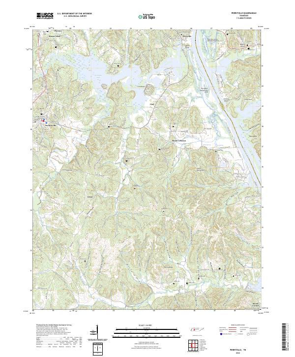
2022 Map of Perryville
USGS Topo · Published 2022About this map
Kentucky Lake and the Tennessee River dominate the eastern landscape of this Decatur County region, where the terrain transitions from river bottoms to a complex network of hollows. The settlement at Decaturville serves as a focal point, anchored by the Decatur County Courthouse and the Decaturville City Cem. To the north, Perryville and Beech Bend overlook the water, while the interior is dotted with small communities like Utah and Mount Lebanon.
Find a feature on this map
148 named features on this map. Tap any name to fly to it.
Don’t see what you’re looking for? This feature index may not catch every label — zoom into the map to look around manually.
Map Details
Editions of this 2022 Perryville Map
This is the sole edition of this map. No revisions or reprints were ever made.
Other maps of this area

1905 · Waynesboro
USGS Topo · 1:125,000

1936 · Pine View
USGS Topo · 1:24,000

1936 · Scotts Hill
USGS Topo · 1:24,000

1936 · Parsons
USGS Topo · 1:24,000

1936 · Thurman
USGS Topo · 1:24,000

1936 · Bath Springs
USGS Topo · 1:24,000

1936 · Clifton
USGS Topo · 1:24,000

1936 · Jeannette
USGS Topo · 1:24,000

1936 · Perryville
USGS Topo · 1:24,000

1936 · Pope
USGS Topo · 1:24,000