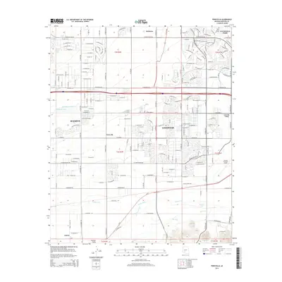
2014 Map of Perryville
USGS Topo · Published 2014About this map
Perryville and Liberty anchor a landscape defined by the intersection of desert drainage and agricultural engineering in the West Valley. The southern portion of this region is shaped by the Gila River, where the Buckeye Canal and Extension Canal trace the historic commitment to irrigation that sustained these rural communities. To the north, the modern expansion of Goodyear and Buckeye begins to overprint the traditional grid, though features like the Phoenix Goodyear Airport and Estrella Camp signal the area's increasing urbanization. Numerous washes, including Jackrabbit Trail Wash and Tuthill Dike Wash, cut through the terrain, illustrating the natural hydrological patterns that dictate development in this part of Maricopa County. This survey reflects a moment when large-scale ranching and farming operations met the growing suburban reach of the Phoenix metropolitan area.
Find a feature on this map
102 named features on this map. Tap any name to fly to it.
Don’t see what you’re looking for? This feature index may not catch every label — zoom into the map to look around manually.
Map Details
Editions of this 2014 Perryville Map
This is the sole edition of this map. No revisions or reprints were ever made.
Other maps of this area

1946 · Avondale
USGS Topo · 1:62,500

1948 · Cashion
USGS Topo · 1:62,500

1954 · Phoenix
USGS Topo · 1:250,000

1957 · Phoenix
USGS Topo · 1:250,000

1957 · White Tank Mts. SE
USGS Topo · 1:24,000

1957 · Valencia
USGS Topo · 1:24,000

1957 · Perryville
USGS Topo · 1:24,000

1957 · El Mirage
USGS Topo · 1:24,000

1957 · Waddell
USGS Topo · 1:24,000

1957 · Tolleson
USGS Topo · 1:24,000