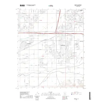
2018 Map of Perryville
USGS Topo · Published 2018About this map
The Gila River winds through the southern reaches of this West Valley corridor, a landscape defined by its irrigation heritage and rapid late-century expansion. Water management is central to the area's development, evidenced by the Buckeye Canal and the extensive Roosevelt Irrigation District CSR network that feeds the surrounding agriculture. The map captures the suburban convergence of Buckeye and Goodyear, while also detailing smaller locales like Perryville and McMicken. Transportation and aviation history are prominently marked by the Phoenix Goodyear Airport and a dense grid of regional roads including W Indian School Rd and W McDowell Rd. Local washes such as Tuthill Dike Wash and Bullard Wash illustrate the natural drainage patterns that have shaped the placement of settlements like Estrella Camp and Liberty on the alluvial plains west of Phoenix.
Find a feature on this map
95 named features on this map. Tap any name to fly to it.
Don’t see what you’re looking for? This feature index may not catch every label — zoom into the map to look around manually.
Map Details
Editions of this 2018 Perryville Map
This is the sole edition of this map. No revisions or reprints were ever made.
Other maps of this area

1946 · Avondale
USGS Topo · 1:62,500

1948 · Cashion
USGS Topo · 1:62,500

1954 · Phoenix
USGS Topo · 1:250,000

1957 · Phoenix
USGS Topo · 1:250,000

1957 · White Tank Mts. SE
USGS Topo · 1:24,000

1957 · Valencia
USGS Topo · 1:24,000

1957 · Perryville
USGS Topo · 1:24,000

1957 · El Mirage
USGS Topo · 1:24,000

1957 · Waddell
USGS Topo · 1:24,000

1957 · Tolleson
USGS Topo · 1:24,000