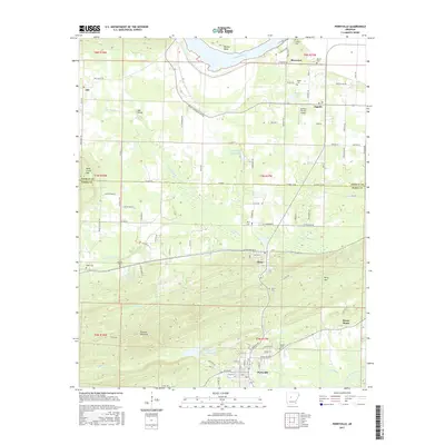
2017 Map of Perryville
USGS Topo · Published 2017About this map
Perryville and the surrounding Perry County landscape are defined by the winding course of the Fourche LaFave River and the numerous small drainages that feed into the Arkansas River to the north. The area shows a clear transition from the low-lying wetlands and reservoirs like Timberlake Reservoir and S Fouche Site Seven Reservoir to the more prominent elevations of Rose Creek Mtn, Perry Mtn, and the distinctive Fourche Pinnacle.
Find a feature on this map
112 named features on this map. Tap any name to fly to it.
Don’t see what you’re looking for? This feature index may not catch every label — zoom into the map to look around manually.
Map Details
Editions of this 2017 Perryville Map
This is the sole edition of this map. No revisions or reprints were ever made.
Other maps of this area

1889 · Morrilton No. 3
USGS Topo · 1:62,500

1890 · Benton
USGS Topo · 1:125,000

1892 · Morrillton
USGS Topo · 1:125,000

1894 · Morrillton
USGS Topo · 1:125,000

1894 · Benton
USGS Topo · 1:125,000

1955 · Little Rock
USGS Topo · 1:250,000

1956 · Little Rock
USGS Topo · 1:250,000

1956 · Russellville
USGS Topo · 1:250,000

1960 · Little Rock
USGS Topo · 1:250,000

1961 · Perryville
USGS Topo · 1:24,000