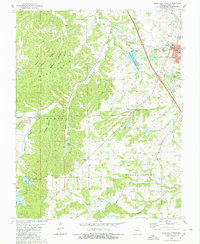
1980 Map of Perryville West
USGS Topo · Published 1980About this map
The western outskirts of Perryville anchor this 1980 survey, where the rolling agricultural uplands give way to the more dissected terrain of the Mine La Motte Hills. This landscape is marked by a clear transition from the developed core near the St Marys Seminary and Mt Hope Cemetery to the deeply carved ravines of Vacant Hollow and Pecaut Hollow. Water plays a central role in the regional geography, from the recreational waters of Lake Kah-Tan-Da and the County Lake State Wildlife Management Area to the winding course of Saline Creek. Small rural communities like Silver Lake and Friendly Valley appear alongside institutional landmarks such as St Joseph Ch, illustrating the enduring patterns of faith and settlement in St Marys and Central townships. The map traces historical transit routes including the Greenville Road, providing a detailed look at the interface between the town and its outlying timbered ridges.
Find a feature on this map
38 named features on this map. Tap any name to fly to it.
Don’t see what you’re looking for? This feature index may not catch every label — zoom into the map to look around manually.
Map Details
Editions of this 1980 Perryville West Map
2 editions found
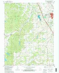
Other maps of this area

1907 · Weingarten
USGS Topo · 1:62,500

1909 · Weingarten
USGS Topo · 1:62,500

1910 · Higdon
USGS Topo · 1:62,500

1915 · Chester
USGS Topo · 1:62,500

1923 · Perryville
USGS Topo · 1:62,500

1924 · Perryville
USGS Topo · 1:62,500

1947 · Chester
USGS Topo · 1:62,500

1949 · Paducah
USGS Topo · 1:250,000

1949 · Rolla
USGS Topo · 1:250,000

1950 · Paducah
USGS Topo · 1:250,000