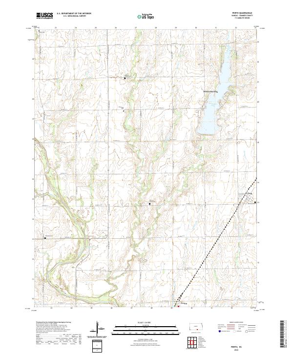
2022 Map of Perth
USGS Topo · Published 2022About this map
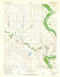
The agricultural landscape south of Wellington is defined by the steady convergence of prairie creeks and the established grid of the Public Land Survey System. The southern reaches of Wellington Lake dominate the northeastern portion of this survey, while the small settlements of Perth and Corbin serve as local anchors along the eastern and southern edges. These communities are linked by a systematic network of section-line roads, such as S Chicaskia Rd and S Sumner Rd, that navigate the drainage basins of W Prairie Cr, E Prairie Cr, and Rodgers Br.
Find a feature on this map
47 named features on this map. Tap any name to fly to it.
Don’t see what you’re looking for? This feature index may not catch every label — zoom into the map to look around manually.
Map Details
Editions of this 2022 Perth Map
This is the sole edition of this map. No revisions or reprints were ever made.
Historical Maps of Perth Through Time
20 maps found
1955 Zyba
Sumner County, KS
1964 Dalton
Sumner County, KS
1964 South Haven NE
Sumner County, KS
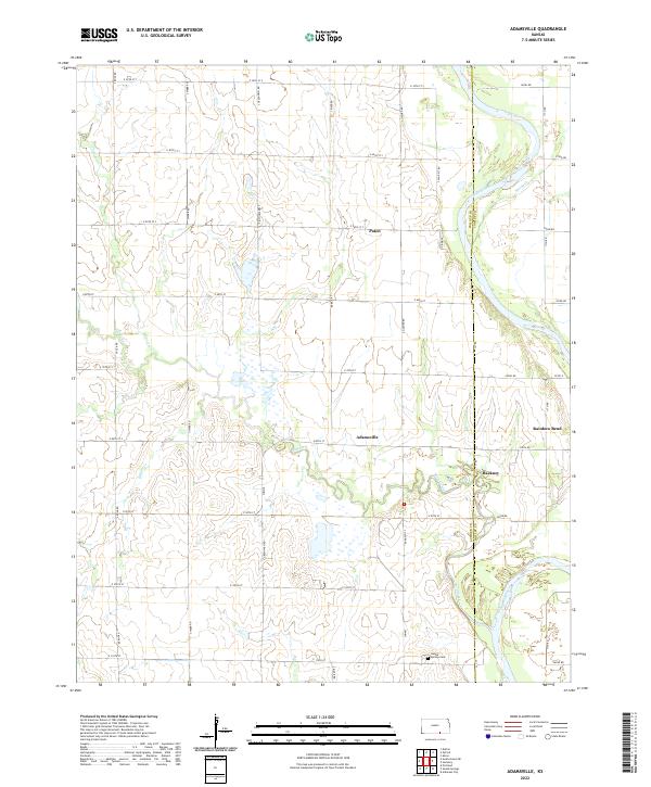
1965 Adamsville
Sumner County, KS
1965 Portland
Sumner County, KS
1965 Rome
Sumner County, KS
1971 Caldwell NW
Sumner County, KS
1971 Doster
Sumner County, KS
1971 Millerton
Sumner County, KS
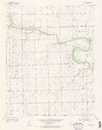
1971 Perth
Sumner County, KS
2022 Adamsville
Sumner County, KS
2022 Caldwell NW
Sumner County, KS
2022 Dalton
Sumner County, KS
2022 Doster
Sumner County, KS
2022 Millerton
Sumner County, KS
2022 Perth
Sumner County, KS
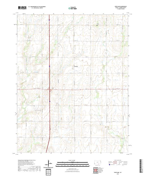
2022 Portland
Sumner County, KS
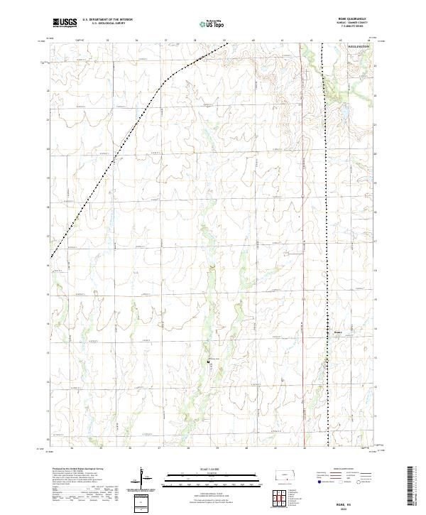
2022 Rome
Sumner County, KS
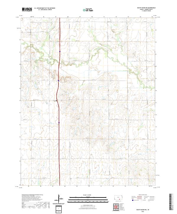
2022 South Haven NE
Sumner County, KS
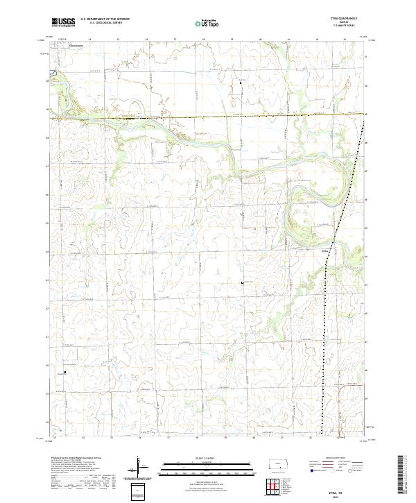
2022 Zyba
Sumner County, KS