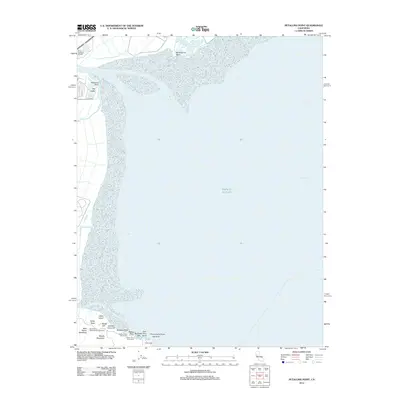
2012 Map of Petaluma Point
USGS Topo · Published 2012About this map
Port Sonoma Marina and the surrounding marshlands of San Pablo Bay define this 2012 coastal landscape near Vallejo. The survey details the intricate shoreline where Novato Cr meets the bay, highlighting a transition from developed marinas to preserved natural areas. To the south, the map documents the recreational and historical geography of China Camp, including several specific landmarks such as Rat Rock and Bullhead Flat. The terrain is characterized by low-lying islands like Jakes Island and distinct rises such as Chicken Coop Hill. This map captures a moment of modern land use in the North Bay, where public lands like Back Ranch Meadows and various picnic areas coexist with active maritime facilities at Petaluma Point.
Find a feature on this map
26 named features on this map. Tap any name to fly to it.
Don’t see what you’re looking for? This feature index may not catch every label — zoom into the map to look around manually.
Map Details
Editions of this 2012 Petaluma Point Map
This is the sole edition of this map. No revisions or reprints were ever made.
Other maps of this area

1895 · San Francisco
USGS Topo · 1:62,500

1897 · Tamalpais
USGS Topo · 1:62,500

1899 · San Francisco
USGS Topo · 1:62,500

1902 · Napa
USGS Topo · 1:125,000

1914 · Petaluma
USGS Topo · 1:62,500

1915 · San Francisco
USGS Topo · 1:62,500

1916 · Mare Island
USGS Topo · 1:62,500

1941 · Tamalpais
USGS Topo · 1:62,500

1942 · Mare Island
USGS Topo · 1:62,500

1942 · Petaluma
USGS Topo · 1:62,500