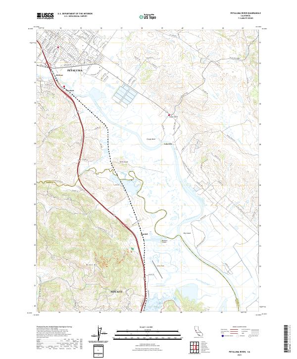
2021 Map of Petaluma River
USGS Topo · Published 2021About this map
The Petaluma River winds through a complex network of marshes and sloughs along the Sonoma Co and Marin Co border, defining the low-lying landscape between the rising slopes of Burdell Mtn and the uplands near Novato. This 2021 survey illustrates the extensive tidal geography of the region, where named features like Cloudy Bend, Hog Island, and Burdell Island sit amidst a maze of waterways including Donahue Slough, Tule Slough, and Black John Slough. To the north, the city of Petaluma serves as the primary hub, with its suburban reaches extending toward McNear and Haystack. The map clearly delineates the infrastructure supporting the area's movement, from the aeronautical facilities at Gnoss Field to the various roads and landings such as Lakeville that have historically connected these riverfront communities to the interior valleys and the San Francisco Bay beyond.
Find a feature on this map
118 named features on this map. Tap any name to fly to it.
Don’t see what you’re looking for? This feature index may not catch every label — zoom into the map to look around manually.
Map Details
Editions of this 2021 Petaluma River Map
This is the sole edition of this map. No revisions or reprints were ever made.
Other maps of this area

1902 · Napa
USGS Topo · 1:125,000

1914 · Petaluma
USGS Topo · 1:62,500

1916 · Mare Island
USGS Topo · 1:62,500

1916 · Santa Rosa
USGS Topo · 1:62,500

1942 · Mare Island
USGS Topo · 1:62,500

1942 · Sonoma
USGS Topo · 1:62,500

1942 · Petaluma
USGS Topo · 1:62,500

1944 · Santa Rosa
USGS Topo · 1:62,500

1947 · Santa Rosa
USGS Topo · 1:250,000

1949 · Santa Rosa
USGS Topo · 1:250,000