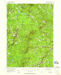
1953 Map of Peterborough
USGS Topo · Published 1959About this map
The Contoocook River and the Boston and Maine railroad corridor anchor the settlement patterns of this New Hampshire landscape during the early 1950s. The map highlights significant cultural and institutional landmarks, including the MacDowell Colony and the St Joseph Minor Seminary near Peterborough. In the southern reaches, the Cathedral of the Pines and Appleton Academy in New Ipswich Center reflect the area's deep-rooted educational and spiritual history. The terrain is defined by the prominent peaks of North Pack Monadnock Mountain and Pack Monadnock Mountain, the latter home to Miller State Park. Diverse industrial and social features appear across the townships, from the mills at Noone to the Sargent Camp on the shores of Halfmoon Pond. This survey details a transition from traditional river-and-rail industry to a region defined by its reservoirs, state reservations, and private institutions.
Find a feature on this map
121 named features on this map. Tap any name to fly to it.
Don’t see what you’re looking for? This feature index may not catch every label — zoom into the map to look around manually.
Map Details
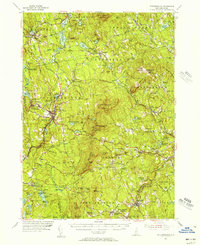
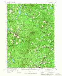
Editions of this 1953 Peterborough Map
3 editions found
Other maps of this area

1887 · Winchendon
USGS Topo · 1:62,500

1887 · Fitchburg
USGS Topo · 1:62,500

1889 · Fitchburg
USGS Topo · 1:62,500

1890 · Winchendon
USGS Topo · 1:62,500

1893 · Fitchburg
USGS Topo · 1:62,500

1893 · Groton
USGS Topo · 1:62,500

1894 · Winchendon
USGS Topo · 1:62,500

1898 · Monadnock
USGS Topo · 1:62,500

1900 · Peterboro
USGS Topo · 1:62,500

1906 · Milford
USGS Topo · 1:62,500