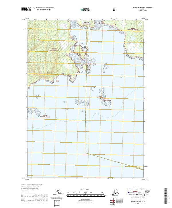
2021 Map of Petersburg B-5 NE
USGS Topo · Published 2021About this map
Tongass National Forest dominates this Alaskan coastal terrain, defining a landscape where dense forest meets the intricate waterways of the Alexander Archipelago. The survey centers on Totem Bay, a significant coastal indentation flanked by Totem Point and protected by smaller outcrops such as Shingle Island. This map illustrates the intersection of jurisdictional lines, notably the boundary between the Petersburg Borough and the Prince of Wales-Hyder Census Area. The topography is characterized by steep timbered slopes and intermittent wetlands, captured here in the early 21st century before modern shifts in land management or climate impacted the remote shoreline of this national forest region.
Find a feature on this map
10 named features on this map. Tap any name to fly to it.
Don’t see what you’re looking for? This feature index may not catch every label — zoom into the map to look around manually.
Map Details
Editions of this 2021 Petersburg B-5 NE Map
This is the sole edition of this map. No revisions or reprints were ever made.
Other maps of this area

1948 · Petersburg C-4
USGS Topo · 1:63,360

1948 · Petersburg C-5
USGS Topo · 1:63,360

1949 · Petersburg B-5
USGS Topo · 1:63,360

1949 · Petersburg B-4
USGS Topo · 1:63,360

1951 · Petersburg B-4
USGS Topo · 1:63,360

1951 · Petersburg C-4
USGS Topo · 1:63,360

1951 · Petersburg C-5
USGS Topo · 1:63,360

1952 · Petersburg
USGS Topo · 1:250,000
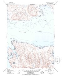
1953 · Petersburg B-5
USGS Topo · 1:63,360

1960 · Petersburg
USGS Topo · 1:250,000