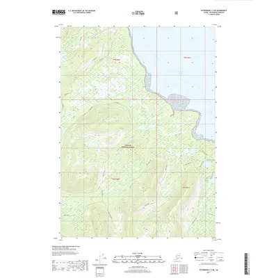
2017 Map of Petersburg C-3 NE
USGS Topo · Published 2017About this map
Tongass National Forest dominates the landscape of Kupreanof Island in this coastal survey, where the rugged topography meets the waters of Frederick Sound and Dry Strait. The terrain is characterized by dramatic elevation changes, notably at Falls Flat and the feature known as Knee, while a complex network of drainage systems including Canyon Creek, Bear Cr, and Falls Cr carve through the timbered slopes. This area serves as a primary recreational and resource corridor, evidenced by an established trail system including the Crane Lake Trail, Sand Lake Trail, and Hill Lake Trail. Forest Service access is facilitated by named routes such as Three Lakes Loop, Frenchy, and Claptrap, illustrating the infrastructure required to manage these remote timberlands and watersheds during the late 2010s.
Find a feature on this map
22 named features on this map. Tap any name to fly to it.
Don’t see what you’re looking for? This feature index may not catch every label — zoom into the map to look around manually.
Map Details
Editions of this 2017 Petersburg C-3 NE Map
This is the sole edition of this map. No revisions or reprints were ever made.
Other maps of this area

1948 · Petersburg C-2
USGS Topo · 1:63,360

1948 · Petersburg C-3
USGS Topo · 1:63,360

1951 · Petersburg C-2
USGS Topo · 1:63,360

1952 · Petersburg
USGS Topo · 1:250,000

1953 · Petersburg C-3
USGS Topo · 1:63,360

1960 · Petersburg
USGS Topo · 1:250,000

1961 · Petersburg D-3
USGS Topo · 1:63,360

1961 · Petersburg D-2
USGS Topo · 1:63,360
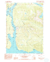
1992 · Petersburg C-3 SW
USGS Topo · 1:25,000
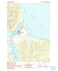
1992 · Petersburg D-3 SW
USGS Topo · 1:25,000