
1951 Map of Petersburg C-5
USGS Topo · Published 1965About this map
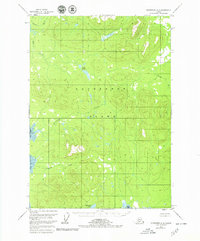
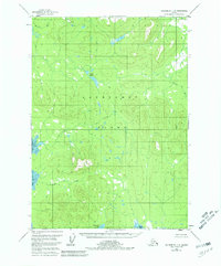
Kupreanof Island dominates this 1951 topographic study, showing a roadless wilderness within the Tongass National Forest as it appeared at mid-century. The landscape is defined by an intricate drainage system where Irish Creek and Keku Creek flow through heavily contoured terrain toward the western shoreline. Along the southern edge, Kushneahin Lake sits just inland from the coastal indentations of Totem Bay, while the eastern reaches are marked by the winding course of the Castle River.
Find a feature on this map
9 named features on this map. Tap any name to fly to it.
Don’t see what you’re looking for? This feature index may not catch every label — zoom into the map to look around manually.
Map Details
Editions of this 1951 Petersburg C-5 Map
3 editions found
Other maps of this area

1948 · Petersburg C-4
USGS Topo · 1:63,360

1948 · Petersburg B-6
USGS Topo · 1:63,360

1948 · Petersburg D-6
USGS Topo · 1:63,360

1948 · Petersburg C-6
USGS Topo · 1:63,360

1948 · Petersburg C-5
USGS Topo · 1:63,360

1948 · Petersburg D-5
USGS Topo · 1:63,360

1949 · Petersburg B-5
USGS Topo · 1:63,360

1949 · Petersburg B-4
USGS Topo · 1:63,360

1951 · Petersburg B-4
USGS Topo · 1:63,360

1951 · Petersburg D-4
USGS Topo · 1:63,360