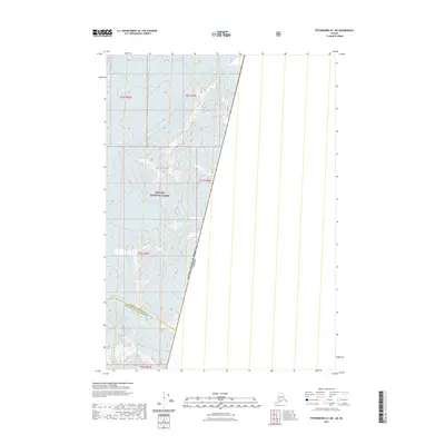
2021 Map of Petersburg D-1 NE
USGS Topo · Published 2021About this map
Leconte Glacier dominates the northern reaches of this glaciated landscape, situated within the expansive Tongass National Forest. This remote section of the Alaskan wilderness is defined by its massive ice fields and high-altitude peaks, including Mt Pratt, which towers over the surrounding terrain. Further south, the Great Glacier emphasizes the dynamic alpine environment of the region. A significant portion of this map tracks the international boundary where the United States of America and Canada meet, as well as the administrative division between the Petersburg Borough and the Wrangell City and Borough. The absence of roads or permanent settlements highlights the map's focus on surveying some of the most isolated glacial topography in North America.
Find a feature on this map
11 named features on this map. Tap any name to fly to it.
Don’t see what you’re looking for? This feature index may not catch every label — zoom into the map to look around manually.
Map Details
Editions of this 2021 Petersburg D-1 NE Map
This is the sole edition of this map. No revisions or reprints were ever made.
Other maps of this area

1951 · Bradfield Canal
USGS Topo · 1:250,000

1952 · Petersburg
USGS Topo · 1:250,000

1952 · Sumdum
USGS Topo · 1:250,000

1954 · Bradfield Canal
USGS Topo · 1:250,000

1955 · Bradfield canal D-6
USGS Topo · 1:63,360

1955 · Bradfield Canal
USGS Topo · 1:250,000

1960 · Petersburg
USGS Topo · 1:250,000

1960 · Sumdum A-1
USGS Topo · 1:63,360

1961 · Petersburg D-1
USGS Topo · 1:63,360

1961 · Sumdum
USGS Topo · 1:250,000