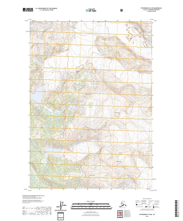
2024 Map of Petersburg D-2 NW
USGS Topo · Published 2024About this map
Tongass National Forest dominates this Alaskan landscape, where the high summits of the Admiral Range rise above the coastal wilderness. This contemporary survey by the U.S. Geological Survey details a cluster of significant summits including Church Peak, Rodgers Peak, and the distinctive Saw Peaks. The complex drainage system of the Muddy River winds through the lower elevations, illustrating the intricate glacial and alpine topography of the Petersburg Borough. Land surveyors and wilderness researchers can trace the specific township and range lines across high points like House Peak and Dupont Peak, while the 80-foot contour intervals reveal the steep verticality of the Pin Peaks.
Find a feature on this map
14 named features on this map. Tap any name to fly to it.
Don’t see what you’re looking for? This feature index may not catch every label — zoom into the map to look around manually.
Map Details
Editions of this 2024 Petersburg D-2 NW Map
This is the sole edition of this map. No revisions or reprints were ever made.
Other maps of this area

1952 · Petersburg
USGS Topo · 1:250,000

1952 · Sumdum
USGS Topo · 1:250,000

1960 · Petersburg
USGS Topo · 1:250,000

1961 · Sumdum A-2
USGS Topo · 1:63,360

1961 · Petersburg D-3
USGS Topo · 1:63,360

1961 · Sumdum A-3
USGS Topo · 1:63,360

1961 · Petersburg D-2
USGS Topo · 1:63,360

1961 · Sumdum
USGS Topo · 1:250,000

1994 · Petersburg D-2
USGS Topo · 1:63,360
1995 · Petersburg D-3
USGS Topo · 1:63,360