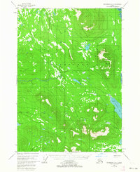
1948 Map of Petersburg D-5
USGS Topo · Published 1963About this map
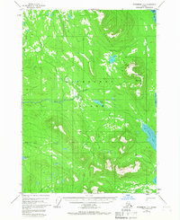
Kupreanof Island is dominated by the elevations of the Bohemian Range and the peak of Kupreanof Mountain in this mid-century topographic study. The landscape is defined by a dense network of waterways and drainage systems, including the westward-flowing Hamilton Creek and the southern reaches of Big John Creek which empties into Big John Bay. Along the eastern coastline, the tidal dynamics are evident at Towers Arm and the nearby Salt Chuck, where significant Tidal Flats are documented. This survey, compiled from 1948 aerial photography and revised in 1963, captures the wilderness of the Alexander Archipelago before modern development, showing the complex interplay of high ridges and maritime inlets such as Portage Bay and Dry Cove.
Find a feature on this map
14 named features on this map. Tap any name to fly to it.
Don’t see what you’re looking for? This feature index may not catch every label — zoom into the map to look around manually.
Map Details
Editions of this 1948 Petersburg D-5 Map
3 editions found
Other maps of this area

1948 · Sumdum A-4
USGS Topo · 1:63,360

1948 · Sumdum A-5
USGS Topo · 1:63,360

1948 · Petersburg C-4
USGS Topo · 1:63,360

1948 · Sumdum A-6
USGS Topo · 1:63,360

1948 · Petersburg D-6
USGS Topo · 1:63,360

1948 · Petersburg C-6
USGS Topo · 1:63,360

1948 · Petersburg C-5
USGS Topo · 1:63,360

1948 · Petersburg D-5
USGS Topo · 1:63,360

1951 · Petersburg D-4
USGS Topo · 1:63,360

1951 · Petersburg D-6
USGS Topo · 1:63,360