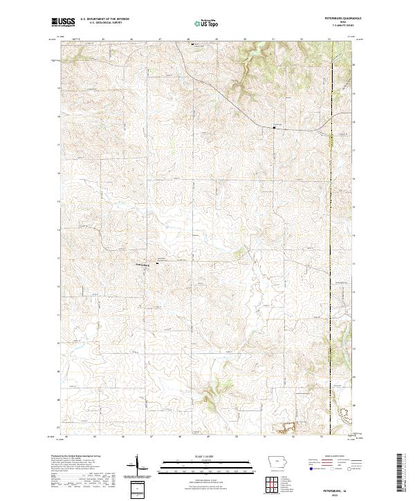
2022 Map of Petersburg
USGS Topo · Published 2022About this map
Petersburg anchors this rural landscape along the border of Delaware and Dubuque counties, where the high prairie of eastern Iowa is etched by a dense network of watercourses. The local topography is defined by the headwaters and drainages of the Little Turkey River in the north and the N Fork Maquoketa River to the southeast. These waterways, including Bear Cr and Elk Cr, create a rolling terrain that breaks the strict agricultural grid of the township system.
Find a feature on this map
51 named features on this map. Tap any name to fly to it.
Don’t see what you’re looking for? This feature index may not catch every label — zoom into the map to look around manually.
Map Details
Editions of this 2022 Petersburg Map
This is the sole edition of this map. No revisions or reprints were ever made.
Other maps of this area

1900 · Anamosa
USGS Topo · 1:125,000

1902 · Elkader
USGS Topo · 1:125,000

1957 · Turkey River
USGS Topo · 1:24,000

1957 · Colesburg
USGS Topo · 1:24,000

1959 · Dubuque
USGS Topo · 1:250,000

1961 · Dubuque
USGS Topo · 1:250,000

1962 · Dubuque
USGS Topo · 1:250,000
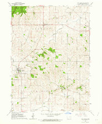
1962 · New Vienna
USGS Topo · 1:24,000

1962 · Petersburg
USGS Topo · 1:24,000

1964 · Garber
USGS Topo · 1:24,000