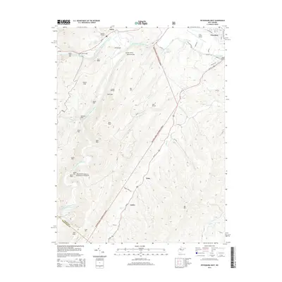
2014 Map of Petersburg West
USGS Topo · Published 2014About this map
The South Branch Potomac River carves a deep valley through the ridges of Grant County, creating a dramatic landscape where the Monongahela National Forest meets the valley floor. Settlement is concentrated along the river and its tributaries, with the town of Petersburg situated at the northern edge, supported by the Grant County Airport and local infrastructure. The terrain is marked by significant geological features, including the Smoke Hole and Castle Rock, which signify the erosion-carved character of the Appalachian landscape.
Find a feature on this map
52 named features on this map. Tap any name to fly to it.
Don’t see what you’re looking for? This feature index may not catch every label — zoom into the map to look around manually.
Map Details
Editions of this 2014 Petersburg West Map
This is the sole edition of this map. No revisions or reprints were ever made.
Other maps of this area

1892 · Franklin
USGS Topo · 1:125,000

1895 · Piedmont
USGS Topo · 1:125,000

1896 · Franklin
USGS Topo · 1:125,000

1916 · Davis
USGS Topo · 1:48,000

1918 · Davis
USGS Topo · 1:62,500

1919 · Davis
USGS Topo · 1:62,500

1920 · Davis
USGS Topo · 1:48,000

1920 · Petersburg
USGS Topo · 1:48,000

1920 · Onego
USGS Topo · 1:62,500

1921 · Petersburg
USGS Topo · 1:48,000