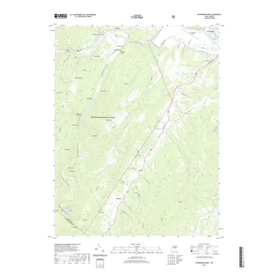
2019 Map of Petersburg West
USGS Topo · Published 2019About this map
Landes and Cabins serve as primary anchors in this highland region where the North Fork South Branch Potomac River carves a deep path through the Monongahela National Forest. The geography is defined by a series of prominent gaps and ridges, including Smoke Hole, Stillhouse Gap, and Fork Ridge. These natural corridors have historically shaped local travel, evidenced by the winding path of US Rte 220 as it follows N Mill Cr past Bethel Church. Significant vertical landmarks like Cave Mtn, Blue Rock, and Hyers Rock Bridge rise above the river valleys, marking a landscape where high-altitude knobs like Dayton Knob and High Knob overlook the surrounding hollows. In the northeast, the presence of the Grant County Airport near the outskirts of Petersburg signals the modernization of this remote terrain, yet the concentration of springs such as Poor Farm Spring and the State Trout Hatchery Spring reflects the enduring importance of the area's water resources.
Find a feature on this map
60 named features on this map. Tap any name to fly to it.
Don’t see what you’re looking for? This feature index may not catch every label — zoom into the map to look around manually.
Map Details
Editions of this 2019 Petersburg West Map
This is the sole edition of this map. No revisions or reprints were ever made.
Other maps of this area

1892 · Franklin
USGS Topo · 1:125,000

1895 · Piedmont
USGS Topo · 1:125,000

1896 · Franklin
USGS Topo · 1:125,000

1916 · Davis
USGS Topo · 1:48,000

1918 · Davis
USGS Topo · 1:62,500

1919 · Davis
USGS Topo · 1:62,500

1920 · Davis
USGS Topo · 1:48,000

1920 · Petersburg
USGS Topo · 1:48,000

1920 · Onego
USGS Topo · 1:62,500

1921 · Petersburg
USGS Topo · 1:48,000