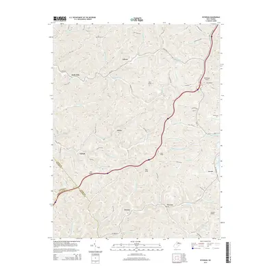
2014 Map of Peterson
USGS Topo · Published 2014About this map
Peterson and the surrounding Lewis County uplands are defined by a complex network of narrow hollows and high ridges that shaped local settlement patterns for generations. Small communities like Bennett and Bealls Mills developed along the winding watercourses, while family and community history is preserved at Saint Bernard Cem and Rhodes Cem. The terrain is marked by distinctive elevations such as Pine Knob, Flag Knob, and Rush Knob, providing a clear picture of the topography that dictated the route of Us-19 and the local road network.
Find a feature on this map
94 named features on this map. Tap any name to fly to it.
Don’t see what you’re looking for? This feature index may not catch every label — zoom into the map to look around manually.
Map Details
Editions of this 2014 Peterson Map
This is the sole edition of this map. No revisions or reprints were ever made.
Other maps of this area

1893 · Buckhannon
USGS Topo · 1:125,000

1893 · Sutton
USGS Topo · 1:125,000

1896 · Buckhannon
USGS Topo · 1:125,000

1897 · Buckhannon
USGS Topo · 1:125,000

1904 · Weston
USGS Topo · 1:62,500

1904 · Vadis
USGS Topo · 1:62,500

1906 · Burnsville
USGS Topo · 1:62,500

1912 · Crawford
USGS Topo · 1:48,000

1914 · Crawford
USGS Topo · 1:62,500

1925 · Burnsville
USGS Topo · 1:62,500