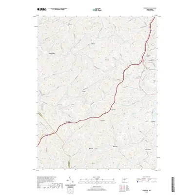
2019 Map of Peterson
USGS Topo · Published 2019About this map
Saint Bernard Cem and the small settlement of Bealls Mills sit in the north of this Central West Virginia landscape, where the terrain is carved by the Sand Fork and Loveberry Run. The map illustrates a dense network of country roads and trails connecting isolated hollows like Rohrbough Hollow and Camden Hollow. Many of these routes follow the natural drainage patterns of Oil Creek and Canoe Run, reflecting the area's agricultural and resource-based development.
Find a feature on this map
111 named features on this map. Tap any name to fly to it.
Don’t see what you’re looking for? This feature index may not catch every label — zoom into the map to look around manually.
Map Details
Editions of this 2019 Peterson Map
This is the sole edition of this map. No revisions or reprints were ever made.
Other maps of this area

1893 · Buckhannon
USGS Topo · 1:125,000

1893 · Sutton
USGS Topo · 1:125,000

1896 · Buckhannon
USGS Topo · 1:125,000

1897 · Buckhannon
USGS Topo · 1:125,000

1904 · Weston
USGS Topo · 1:62,500

1904 · Vadis
USGS Topo · 1:62,500

1906 · Burnsville
USGS Topo · 1:62,500

1912 · Crawford
USGS Topo · 1:48,000

1914 · Crawford
USGS Topo · 1:62,500

1925 · Burnsville
USGS Topo · 1:62,500