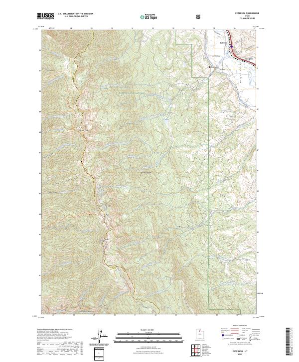
2023 Map of Peterson
USGS Topo · Published 2023About this map
Peterson and Enterprise anchor the northeastern corner of this map, situated in the fertile Morgan Valley where the Bear River Range begins its descent. The terrain is dominated by the steep western front of the Wasatch Range, featuring prominent elevations such as Thurston Peak and Francis Peak. This 2023 survey illustrates the complex drainage systems that feed the valley, including Right Hand Fork Peterson Creek and Dalton Creek, which carve through the Wasatch National Forest.
Find a feature on this map
62 named features on this map. Tap any name to fly to it.
Don’t see what you’re looking for? This feature index may not catch every label — zoom into the map to look around manually.
Map Details
Editions of this 2023 Peterson Map
This is the sole edition of this map. No revisions or reprints were ever made.
Other maps of this area

1885 · Salt Lake
USGS Topo · 1:250,000

1925 · Ft. Douglas
USGS Topo · 1:125,000

1928 · Ft. Douglas
USGS Topo · 1:125,000

1952 · Farmington
USGS Topo · 1:24,000

1952 · Bountiful Peak
USGS Topo · 1:24,000

1954 · Salt Lake City
USGS Topo · 1:250,000

1954 · Ogden
USGS Topo · 1:250,000

1955 · Ogden
USGS Topo · 1:24,000

1955 · Peterson
USGS Topo · 1:24,000

1955 · Kaysville
USGS Topo · 1:24,000