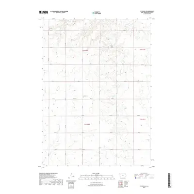
2018 Map of Peterson SE
USGS Topo · Published 2018About this map
Saint John's Cem and the surrounding rural landscapes of Buena Vista County define this portion of Northwest Iowa. This 2018 survey documents a highly organized grid of agricultural land and section boundaries, illustrating the enduring nature of the Public Land Survey System in the Midwest. Watercourses like Maple Cr and Cottonwood Cr cut through the geometric road network, providing the primary natural relief in an otherwise strictly partitioned terrain. For genealogists, the map preserves the precise locations of several local burial grounds, including Plainview Cem and Elk Cem, which serve as vital landmarks for tracing early settlement families. Notable infrastructure is minimal but specific, such as the Brooke Creek Bridge, highlighting the essential crossings that maintain the local transportation network across the drainage of Brooke Cr.
Find a feature on this map
26 named features on this map. Tap any name to fly to it.
Don’t see what you’re looking for? This feature index may not catch every label — zoom into the map to look around manually.
Map Details
Editions of this 2018 Peterson SE Map
This is the sole edition of this map. No revisions or reprints were ever made.
Other maps of this area

1954 · Fort Dodge
USGS Topo · 1:250,000

1957 · Fort Dodge
USGS Topo · 1:250,000

1958 · Fort Dodge
USGS Topo · 1:250,000

1969 · Aurelia
USGS Topo · 1:24,000

1971 · Rembrandt
USGS Topo · 1:24,000

1971 · Sioux Rapids
USGS Topo · 1:24,000

1971 · Peterson SW
USGS Topo · 1:24,000

1971 · Peterson SE
USGS Topo · 1:24,000
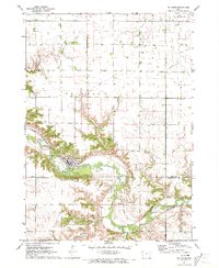
1971 · Peterson
USGS Topo · 1:24,000
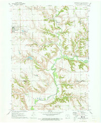
1971 · Sutherland East
USGS Topo · 1:24,000