
1971 Map of Peterson SE
USGS Topo · Published 1973About this map
The agricultural heart of Buena Vista County unfolds across this early 1970s landscape, where rural life is anchored by established country churches and cemeteries. A notable landmark in the northwest corner is the Childrens Home, situated near the headwaters of Cottonwood Creek. The township divisions of Brooke, Barnes, Elk, and Scott define the grid-like organization of the territory, which is carved by a network of drainage systems including Brooke Creek and Maple Creek. Local genealogy and community history are preserved in several family and congregational sites, such as the St John Ch Cem and Plainview Cem. Small-scale industrial activity is evidenced by several Gravel Pit locations, while a Landing Strip in the southwest suggests the modern integration of aviation into this remote farming region.
Find a feature on this map
20 named features on this map. Tap any name to fly to it.
Don’t see what you’re looking for? This feature index may not catch every label — zoom into the map to look around manually.
Map Details
Editions of this 1971 Peterson SE Map
This is the sole edition of this map. No revisions or reprints were ever made.
Other maps of this area

1954 · Fort Dodge
USGS Topo · 1:250,000

1957 · Fort Dodge
USGS Topo · 1:250,000

1958 · Fort Dodge
USGS Topo · 1:250,000

1969 · Aurelia
USGS Topo · 1:24,000

1971 · Rembrandt
USGS Topo · 1:24,000

1971 · Sioux Rapids
USGS Topo · 1:24,000

1971 · Peterson SW
USGS Topo · 1:24,000
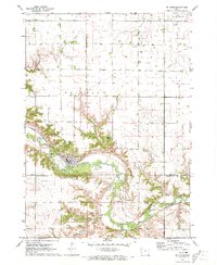
1971 · Peterson
USGS Topo · 1:24,000
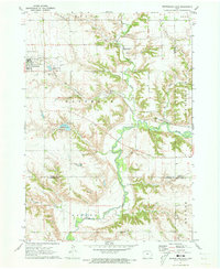
1971 · Sutherland East
USGS Topo · 1:24,000

1979 · Storm Lake
USGS Topo · 1:24,000