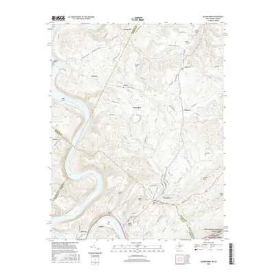
2016 Map of Peterstown
USGS Topo · Published 2016About this map
The New River carves a deep path through the borderlands of West Virginia and Virginia, anchoring a landscape where river-and-rail industry meets rural high-country settlements. Along the southern banks, the Norfolk Southern line follows the water's edge, serving the communities of Glen Lyn and Rich Creek, while the town of Peterstown sits just across the state line in Monroe County. The terrain rises sharply from the river valley to prominent heights like Powell Mtn and Wylie Mtn, which separate the river corridor from the agricultural plateaus to the north.
Find a feature on this map
109 named features on this map. Tap any name to fly to it.
Don’t see what you’re looking for? This feature index may not catch every label — zoom into the map to look around manually.
Map Details
Editions of this 2016 Peterstown Map
This is the sole edition of this map. No revisions or reprints were ever made.
Other maps of this area

1887 · Hinton
USGS Topo · 1:125,000

1890 · Dublin
USGS Topo · 1:125,000

1891 · Dublin
USGS Topo · 1:125,000

1892 · Hinton
USGS Topo · 1:125,000

1912 · Big Bend
USGS Topo · 1:62,500

1913 · Peterstown
USGS Topo · 1:48,000

1914 · Big Bend
USGS Topo · 1:62,500

1916 · Peterstown
USGS Topo · 1:62,500

1921 · Alderson
USGS Topo · 1:48,000

1923 · Pearisburg
USGS Topo · 1:62,500