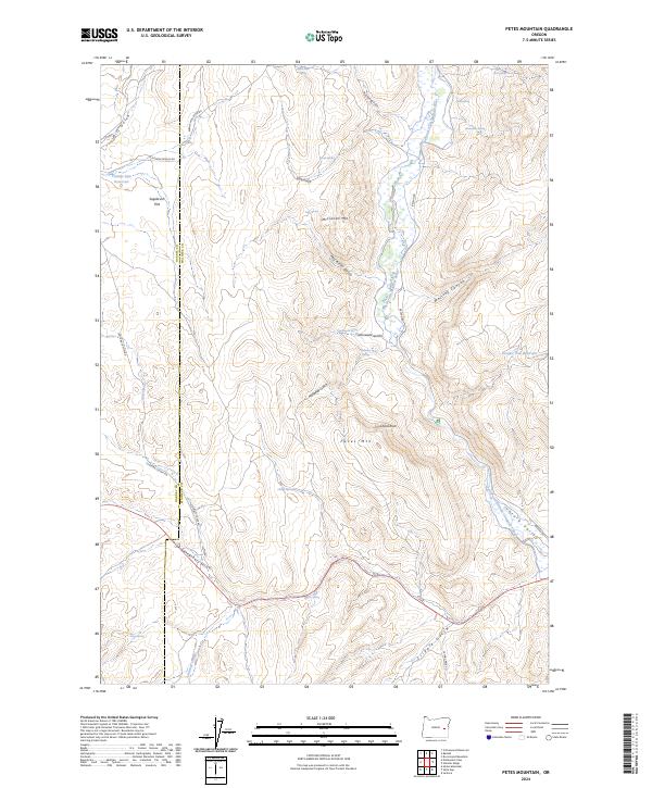
2024 Map of Petes Mountain
USGS Topo · Published 2024About this map
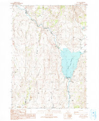
The North Fork Malheur River carves a central corridor through this section of eastern Oregon, where the high desert landscape is punctuated by numerous vital water sources such as Moonshine Spring, Zink Spring, and Cottonwood Spring. The topography is dominated by prominent ridges including Petes Mtn and McClellan Mtn, separated by deep drainages like McClellan Gulch and Whitley Canyon. Human utility of the land is evident in the water management infrastructure of the Juntura Investment Company Canal and isolated stock-water sources like the Juniper Tree Reservoir. Navigation through the sage-covered heights of Sagebrush Flat and the Juntura Valley is facilitated by a network of ranch and back-country roads, including the Juntura Cutoff Rd and Altnow-Beulah Rd, which follow the natural contours of the gulches and river plains.
Find a feature on this map
44 named features on this map. Tap any name to fly to it.
Don’t see what you’re looking for? This feature index may not catch every label — zoom into the map to look around manually.
Map Details
Editions of this 2024 Petes Mountain Map
This is the sole edition of this map. No revisions or reprints were ever made.
Other maps of this area

1955 · Burns
USGS Topo · 1:250,000

1958 · Burns
USGS Topo · 1:250,000

1959 · Burns
USGS Topo · 1:250,000

1966 · Beulah
USGS Topo · 1:62,500

1968 · Drewsey
USGS Topo · 1:62,500
1973 · Upton Mountain
USGS Topo · 1:24,000
1978 · Juntura
USGS Topo · 1:24,000
1978 · Selle Gap
USGS Topo · 1:24,000

1978 · Stinkingwater Mountains
USGS Topo · 1:100,000
1990 · Beulah
USGS Topo · 1:24,000