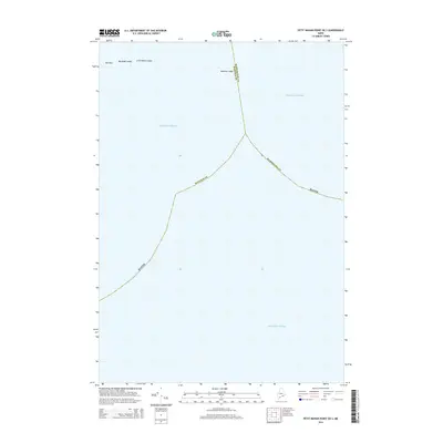
2014 Map of Petit Manan Point OE S
USGS Topo · Published 2014About this map
The Atlantic Ocean dominates this maritime survey off the coast of Maine, where the jurisdictional boundary between Hancock County and Washington County splits the open water. This map captures a specific offshore area where navigation is dictated by isolated geological hazards. Several notable rock formations and ledges break the surface or lurk just beneath, including the aptly named Old Man, Big Black Ledge, and Little Black Ledge in the northwest. Further east, Moulton Ledge sits near the county line, marking a critical point for local mariners. The map provides a clear look at these maritime landmarks as they were recorded in the early 21st century, serving as a primary reference for the naming of these specific coastal features.
Find a feature on this map
9 named features on this map. Tap any name to fly to it.
Don’t see what you’re looking for? This feature index may not catch every label — zoom into the map to look around manually.
Map Details
Editions of this 2014 Petit Manan Point OE S Map
This is the sole edition of this map. No revisions or reprints were ever made.
Other maps of this area

1904 · Bar Harbor
USGS Topo · 1:62,500

1904 · Petit Manan
USGS Topo · 1:62,500

1942 · Bar Harbor
USGS Topo · 1:62,500

1948 · Bangor
USGS Topo · 1:250,000
1948 · Petit Manan
USGS Topo · 1:24,000
1950 · Petit Manan
USGS Topo · 1:24,000
1950 · Bois Bubert
USGS Topo · 1:24,000
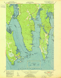
1950 · Petit Manan
USGS Topo · 1:24,000
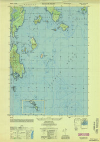
1953 · Bois Bubert
USGS Topo · 1:25,000

1956 · Bar Harbor
USGS Topo · 1:62,500