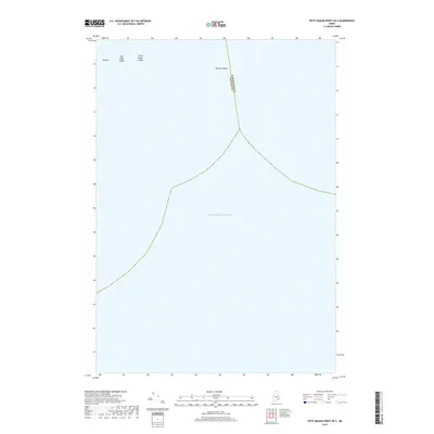
2018 Map of Petit Manan Point OE S
USGS Topo · Published 2018About this map
The Atlantic Ocean dominates this maritime survey off the coast of Maine, where the administrative boundary between Washington County and Hancock County extends through open water. Navigation in these waters is defined by several prominent seafloor hazards and rocky outcrops, most notably Moulton Ledge and the distinctive formations of Old Man, Big Black Ledge, and Little Black Ledge. This map focuses exclusively on the marine environment south of Petit Manan Point, documenting the critical bathymetry and nautical landmarks essential for coastal transit and local fishing grounds during the late 2010s.
Find a feature on this map
6 named features on this map. Tap any name to fly to it.
Don’t see what you’re looking for? This feature index may not catch every label — zoom into the map to look around manually.
Map Details
Editions of this 2018 Petit Manan Point OE S Map
This is the sole edition of this map. No revisions or reprints were ever made.
Other maps of this area

1904 · Bar Harbor
USGS Topo · 1:62,500

1904 · Petit Manan
USGS Topo · 1:62,500

1942 · Bar Harbor
USGS Topo · 1:62,500

1948 · Bangor
USGS Topo · 1:250,000
1948 · Petit Manan
USGS Topo · 1:24,000
1950 · Petit Manan
USGS Topo · 1:24,000
1950 · Bois Bubert
USGS Topo · 1:24,000
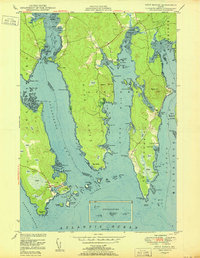
1950 · Petit Manan
USGS Topo · 1:24,000
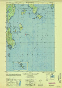
1953 · Bois Bubert
USGS Topo · 1:25,000

1956 · Bar Harbor
USGS Topo · 1:62,500