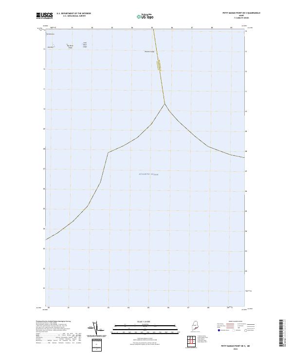
2024 Map of Petit Manan Point OE S
USGS Topo · Published 2024About this map
The Atlantic Ocean dominates this maritime survey, illustrating the hazardous underwater topography off the coast of Maine. This specific nautical area is defined by a series of significant rock formations and hazards that sit just below or break the surface, marking a critical transition for local navigation. The map highlights specific named landmarks such as Big Black Ledge, Little Black Ledge, and Moulton Ledge, which are essential for understanding the maritime safety and coastal history of the region.
Find a feature on this map
7 named features on this map. Tap any name to fly to it.
Don’t see what you’re looking for? This feature index may not catch every label — zoom into the map to look around manually.
Map Details
Editions of this 2024 Petit Manan Point OE S Map
This is the sole edition of this map. No revisions or reprints were ever made.
Other maps of this area

1904 · Bar Harbor
USGS Topo · 1:62,500

1904 · Petit Manan
USGS Topo · 1:62,500

1942 · Bar Harbor
USGS Topo · 1:62,500

1948 · Bangor
USGS Topo · 1:250,000
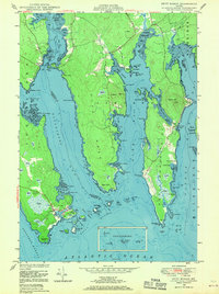
1948 · Petit Manan
USGS Topo · 1:24,000
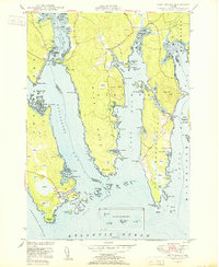
1950 · Petit Manan
USGS Topo · 1:24,000
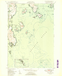
1950 · Bois Bubert
USGS Topo · 1:24,000
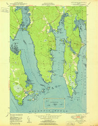
1950 · Petit Manan
USGS Topo · 1:24,000
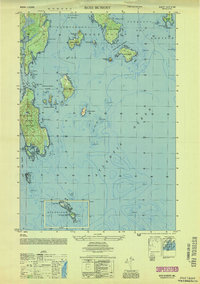
1953 · Bois Bubert
USGS Topo · 1:25,000

1956 · Bar Harbor
USGS Topo · 1:62,500