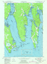
1948 Map of Petit Manan Point
USGS Topo · Published 1978About this map
The coastal village of Corea and the southern reaches of Steuben anchor this maritime landscape, where the jagged granite coastline of Downeast Maine meets the Atlantic. Detailed hydrography from late 19th-century surveys is combined here with mid-20th-century topography, showing a working waterfront defined by Corea Harbor and Steuben Harbor. The interior of Dyer Neck and Petit Manan Point is marked by expansive wetlands known locally as Heath, punctuated by elevations like Eagle Hill and Pigeon Hill.
Find a feature on this map
108 named features on this map. Tap any name to fly to it.
Don’t see what you’re looking for? This feature index may not catch every label — zoom into the map to look around manually.
Map Details
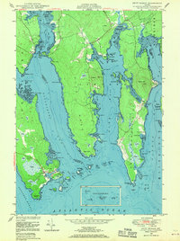
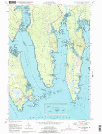
Editions of this 1948 Petit Manan Point Map
3 editions found
Other maps of this area

1902 · Cherryfield
USGS Topo · 1:62,500

1904 · Cherryfield
USGS Topo · 1:62,500

1904 · Bar Harbor
USGS Topo · 1:62,500

1904 · Petit Manan
USGS Topo · 1:62,500

1930 · Tunk Lake
USGS Topo · 1:48,000

1932 · Tunk Lake
USGS Topo · 1:62,500

1942 · Bar Harbor
USGS Topo · 1:62,500

1942 · Cherryfield
USGS Topo · 1:62,500

1942 · Tunk Lake
USGS Topo · 1:62,500

1948 · Bangor
USGS Topo · 1:250,000