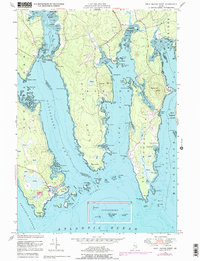
1948 Map of Petit Manan Point
USGS Topo · Published 1978About this map
The rugged maritime landscape of coastal Washington and Hancock Counties is defined by the deep inlets of Gouldsboro Bay and Dyer Bay. Centered on the long peninsula of Petit Manan Point, the map reveals a coastline of intricate coves and tidal heaths where the settlement of Corea sits at the edge of Corea Harbor. The geography is characterized by numerous small islands such as Lobster Island and Western Island, and hazardous maritime features like The Narrows and Shag Ledge. This survey, updated with late-1970s aerial data, provides a window into the traditional fishing and transport patterns of the Maine coast, including the narrow land bridge at Carrying Place between Pigeon Hill Bay and Dyer Bay. Detailed topographic markings show the extent of coastal heaths, which dominate the low-lying interior of the points and islands.
Find a feature on this map
96 named features on this map. Tap any name to fly to it.
Don’t see what you’re looking for? This feature index may not catch every label — zoom into the map to look around manually.
Map Details
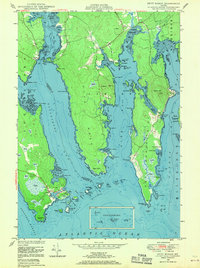
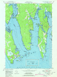
Editions of this 1948 Petit Manan Point Map
3 editions found
Other maps of this area

1902 · Cherryfield
USGS Topo · 1:62,500

1904 · Cherryfield
USGS Topo · 1:62,500

1904 · Bar Harbor
USGS Topo · 1:62,500

1904 · Petit Manan
USGS Topo · 1:62,500

1930 · Tunk Lake
USGS Topo · 1:48,000

1932 · Tunk Lake
USGS Topo · 1:62,500

1942 · Bar Harbor
USGS Topo · 1:62,500

1942 · Cherryfield
USGS Topo · 1:62,500

1942 · Tunk Lake
USGS Topo · 1:62,500

1948 · Bangor
USGS Topo · 1:250,000