
1982 Map of Petoskey
USGS Topo · Published 1982About this map
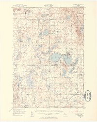
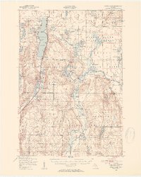
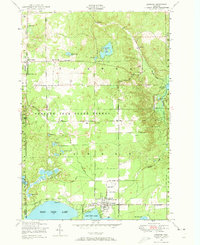
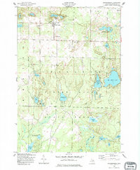
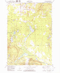
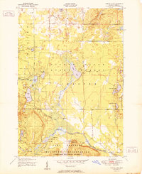
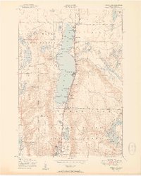
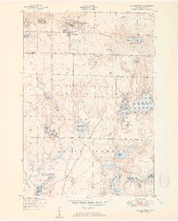
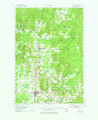
Lake Michigan shoreline and the sprawling expanse of the Mackinaw State Forest dominate this northern Michigan landscape during the early 1980s. The region is defined by its massive inland water bodies, including Burt Lake, Mullett Lake, and Black Lake, which served as historical anchors for seasonal settlements and timber transport. The map traces the industrial and transit corridors of the Michigan Central and Detroit and Mackinac railroads, which connected established hubs like Petoskey and Gaylord to smaller lumber and rail stops such as Wolverine, Vanderbilt, and Afton. From the coastal heights of Petoskey State Park to the interior wetlands feeding the Pigeon River, this survey captures the transition between lakeside recreation and the deep-woods timber and agricultural economies of the northern Lower Peninsula.
Find a feature on this map
75 named features on this map. Tap any name to fly to it.
Don’t see what you’re looking for? This feature index may not catch every label — zoom into the map to look around manually.
Map Details
Editions of this 1982 Petoskey Map
This is the sole edition of this map. No revisions or reprints were ever made.
Other maps of this area
1949 · Lewiston
USGS Topo · 1:62,500
1949 · Otsego Lake
USGS Topo · 1:62,500
1950 · Lewiston
USGS Topo · 1:24,000
1950 · Johannesburg
USGS Topo · 1:24,000
1950 · Turtle Lake
USGS Topo · 1:24,000
1951 · Turtle Lake
USGS Topo · 1:24,000
1951 · Otsego Lake
USGS Topo · 1:24,000
1951 · Johannesburg
USGS Topo · 1:24,000

1951 · Lewiston
USGS Topo · 1:24,000
1954 · Gaylord
USGS Topo · 1:62,500