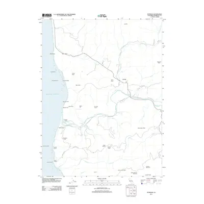
2012 Map of Petrolia
USGS Topo · Published 2012About this map
The Mattole River flows through this coastal landscape, meeting the Pacific Ocean near the distinctive Mattole Beach. This 2012 survey captures the isolated settlement of Petrolia and the rugged coastal points that define the Lost Coast region. Notable landmarks along the shore include Punta Gorda, Mussel Rock, and Sea Lion Rock, while the interior is marked by significant elevation gains at Cooskie Mountain and Little Chaparral Mountain.
Find a feature on this map
54 named features on this map. Tap any name to fly to it.
Don’t see what you’re looking for? This feature index may not catch every label — zoom into the map to look around manually.
Map Details
Editions of this 2012 Petrolia Map
This is the sole edition of this map. No revisions or reprints were ever made.
Other maps of this area

1919 · Glynn
USGS Topo · 1:62,500

1920 · Pt. Delagda
USGS Topo · 1:62,500

1921 · Cape Mendocino
USGS Topo · 1:62,500

1926 · Gorda
USGS Topo · 1:62,500

1949 · Eureka
USGS Topo · 1:250,000

1949 · Point Delgada
USGS Topo · 1:62,500

1950 · Cape Mendocino
USGS Topo · 1:62,500

1950 · Scotia
USGS Topo · 1:62,500

1951 · Scotia
USGS Topo · 1:62,500

1951 · Point Delgada
USGS Topo · 1:62,500