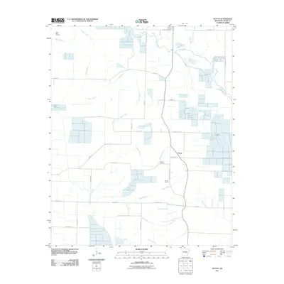
2011 Map of Pettus
USGS Topo · Published 2011About this map
Pettus serves as a central point in this Lonoke County landscape, where agricultural land patterns are defined by an intricate network of waterways and rural roads. The area is anchored by several long-standing burial sites, including Green Olive Cemetery, Sullivan Cemetery, and Weeden Cemetery, which provide significant points of interest for those tracing local family lineages. The terrain is marked by the winding paths of Bakers Bayou and Bayou Meto, alongside the smaller Caney Creek, which together dictate the drainage and development of the surrounding fields.
Find a feature on this map
31 named features on this map. Tap any name to fly to it.
Don’t see what you’re looking for? This feature index may not catch every label — zoom into the map to look around manually.
Map Details
Editions of this 2011 Pettus Map
This is the sole edition of this map. No revisions or reprints were ever made.
Other maps of this area

1891 · Little Rock
USGS Topo · 1:125,000

1893 · Little Rock
USGS Topo · 1:125,000

1937 · England
USGS Topo · 1:48,000

1939 · Keo
USGS Topo · 1:31,680

1940 · Lonoke
USGS Topo · 1:62,500

1941 · Keo
USGS Topo · 1:31,680

1942 · Scott
USGS Topo · 1:31,680

1943 · England
USGS Topo · 1:62,500

1943 · Jacksonville
USGS Topo · 1:31,680

1948 · Helena
USGS Topo · 1:250,000