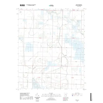
2020 Map of Pettus
USGS Topo · Published 2020About this map
Pettus serves as the central focal point of this agricultural landscape in Lonoke County, where a complex network of bayous and sloughs dictates the local topography. The meandering course of Bayou Meto and Bakers Bayou defines the drainage patterns across the terrain, accompanied by smaller water features like Brushy Slough and Caney Cr. The map reveals a rural settlement pattern deeply connected to family-named landmarks and long-established local routes such as Red Wine Rd, Bob Long Rd, and Tankersly Farm Rd. For those researching local family history, the map precisely locates Weedon Cem, Sullivan Cem, and Green Olive Cem, providing vital geographic context for ancestral sites. The road network, including Weeden Cemetary Rd and Billy Bryant Rd, illustrates the intersection of modern infrastructure with the historical agricultural divisions of the Arkansas delta.
Find a feature on this map
41 named features on this map. Tap any name to fly to it.
Don’t see what you’re looking for? This feature index may not catch every label — zoom into the map to look around manually.
Map Details
Editions of this 2020 Pettus Map
This is the sole edition of this map. No revisions or reprints were ever made.
Other maps of this area

1891 · Little Rock
USGS Topo · 1:125,000

1893 · Little Rock
USGS Topo · 1:125,000

1937 · England
USGS Topo · 1:48,000

1939 · Keo
USGS Topo · 1:31,680

1940 · Lonoke
USGS Topo · 1:62,500

1941 · Keo
USGS Topo · 1:31,680

1942 · Scott
USGS Topo · 1:31,680

1943 · England
USGS Topo · 1:62,500

1943 · Jacksonville
USGS Topo · 1:31,680

1948 · Helena
USGS Topo · 1:250,000