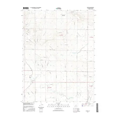
2016 Map of Peyton
USGS Topo · Published 2016About this map
Peyton serves as the primary hub of this eastern El Paso County landscape, where the High Plains terrain is etched by the seasonal drainages of Brackett Cr and Big Sandy Cr. The community's local history is anchored by the Peyton Cem, while the surrounding land shows a distinct transition toward modern residential enclaves like Ackerley Hts, Cheryl Grove, and Shaffer Grove. This residential growth is superimposed over a traditional ranching and aviation footprint, evidenced by the Bijou Springs Ranch Airport to the north.
Find a feature on this map
59 named features on this map. Tap any name to fly to it.
Don’t see what you’re looking for? This feature index may not catch every label — zoom into the map to look around manually.
Map Details
Editions of this 2016 Peyton Map
This is the sole edition of this map. No revisions or reprints were ever made.
Other maps of this area

1893 · Big Springs
USGS Topo · 1:125,000

1893 · Colorado Springs
USGS Topo · 1:125,000

1894 · Castle Rock
USGS Topo · 1:125,000

1909 · Colorado Springs
USGS Topo · 1:125,000

1913 · Castle Rock
USGS Topo · 1:125,000

1940 · Elbert
USGS Topo · 1:62,500

1942 · Colorado Springs
USGS Topo · 1:125,000

1944 · Elbert
USGS Topo · 1:62,500

1948 · Falcon
USGS Topo · 1:24,000

1948 · Falcon
USGS Topo · 1:62,500