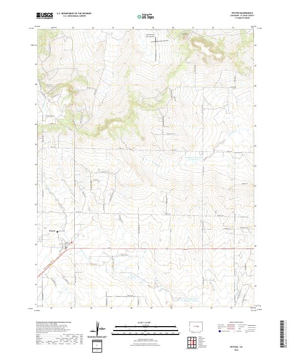
2022 Map of Peyton
USGS Topo · Published 2022About this map
Peyton serves as the focal point of this high-plains landscape, where the town's grid is centered near Main St and the historic Peyton Cem. The surrounding terrain is defined by its transition from prairie to rising topography, notably at Fremont Ft in the north. Water management is a critical feature of the local economy and geography, evidenced by the Big Sandy Cr Watershed S-1 Reservoir and J E McClelland Reservoir Number 4.
Find a feature on this map
64 named features on this map. Tap any name to fly to it.
Don’t see what you’re looking for? This feature index may not catch every label — zoom into the map to look around manually.
Map Details
Editions of this 2022 Peyton Map
This is the sole edition of this map. No revisions or reprints were ever made.
Other maps of this area

1893 · Big Springs
USGS Topo · 1:125,000

1893 · Colorado Springs
USGS Topo · 1:125,000

1894 · Castle Rock
USGS Topo · 1:125,000

1909 · Colorado Springs
USGS Topo · 1:125,000

1913 · Castle Rock
USGS Topo · 1:125,000

1940 · Elbert
USGS Topo · 1:62,500

1942 · Colorado Springs
USGS Topo · 1:125,000

1944 · Elbert
USGS Topo · 1:62,500

1948 · Falcon
USGS Topo · 1:24,000

1948 · Falcon
USGS Topo · 1:62,500