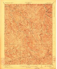
1929 Map of Peytona
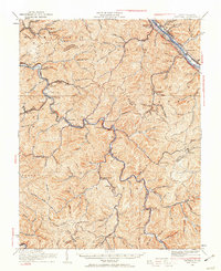
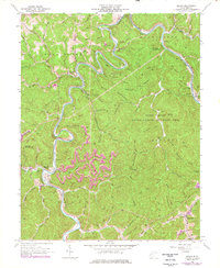
USGS Topo · Published 1960About this map
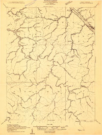
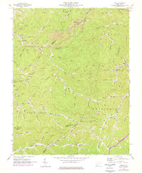
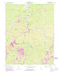
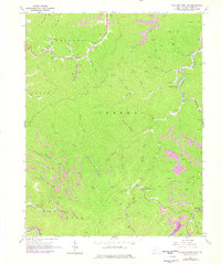
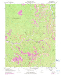
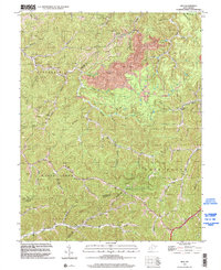
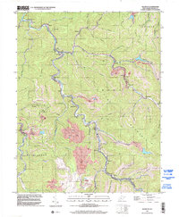
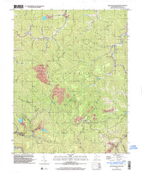
The Coal River and its winding tributaries dominate this landscape as it appeared following the 1929 cultural revision. The survey reveals a dense network of mountain settlements and mining-related infrastructure, with the Chesapeake and Ohio Railway following the river valleys and connecting towns like Peytona and Nellis. Along the northern edge, the Kanawha River hosts larger hubs such as Marmet and Malden, where the Ohio Railway runs parallel to the water. This era marks a significant point in the region's industrial development, showing how coal and rail interests shaped the placement of local centers like Brushton Costa PO and Bloomingrose. Isolated landmarks such as School No 5 and Williams Sch provide valuable points of reference for genealogists tracing family roots in these narrow hollows and along the many forks of Bull Creek.
Find a feature on this map
130 named features on this map. Tap any name to fly to it.
Don’t see what you’re looking for? This feature index may not catch every label — zoom into the map to look around manually.
Map Details
Editions of this 1929 Peytona Map
This is the sole edition of this map. No revisions or reprints were ever made.
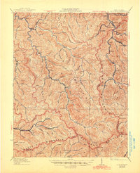
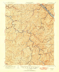
Historical Maps of Marmet Through Time
27 maps found
1909 Peytona
Boone County, WV
1910 Bald Knob
Boone County, WV
1911 Peytona
Boone County, WV
1912 Bald Knob
Boone County, WV

1928 Bald Knob
Boone County, WV
1929 Peytona
Boone County, WV
1931 Bald Knob
Boone County, WV
1931 Peytona
Boone County, WV
1962 Julian
Boone County, WV
1962 Mud
Boone County, WV
1963 Clothier
Boone County, WV
1965 Williams Mountain
Boone County, WV
1968 Lorado
Boone County, WV
1968 Pilot Knob
Boone County, WV
1968 Wharton
Boone County, WV
1996 Clothier
Boone County, WV
1996 Lorado
Boone County, WV
1996 Mud
Boone County, WV
1996 Wharton
Boone County, WV
1996 Williams Mountain
Boone County, WV
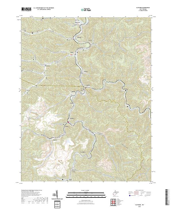
2023 Clothier
Boone County, WV
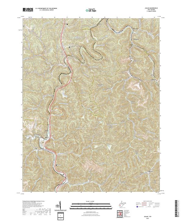
2023 Julian
Boone County, WV
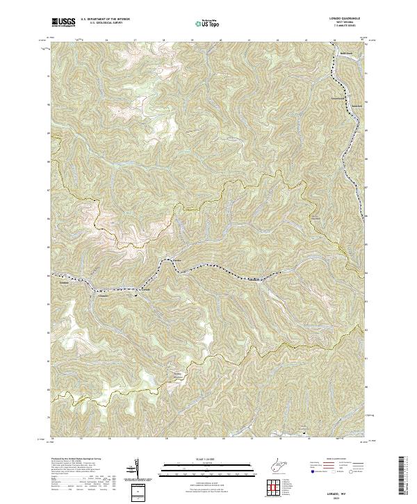
2023 Lorado
Boone County, WV
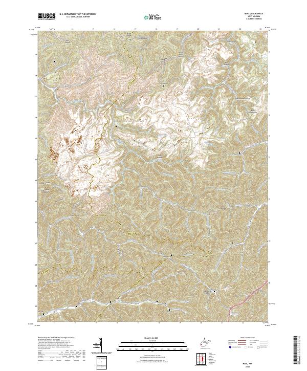
2023 Mud
Boone County, WV
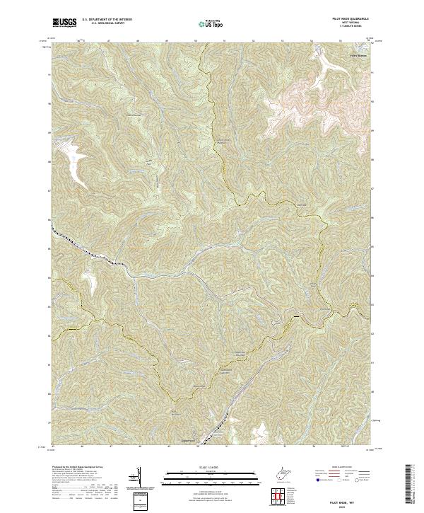
2023 Pilot Knob
Boone County, WV
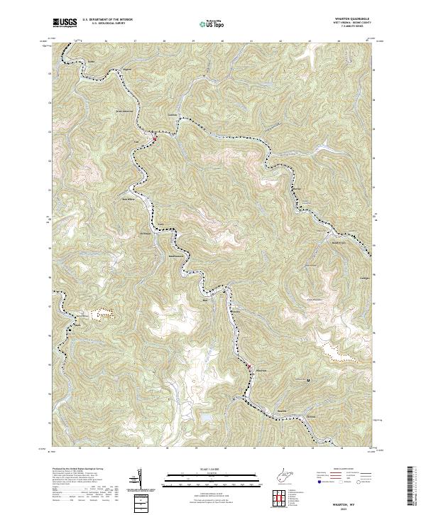
2023 Wharton
Boone County, WV
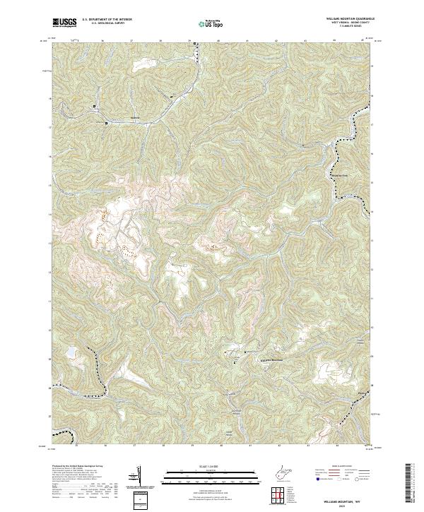
2023 Williams Mountain
Boone County, WV