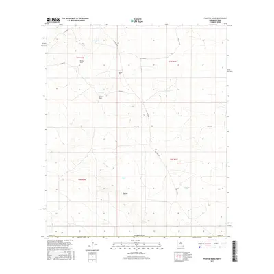
2017 Map of Phantom Banks
USGS Topo · Published 2017About this map
Phantom Banks defines the subtle, arid topography of this southern Eddy County landscape near the Texas border. The area is characterized by a network of drainage features like Brushy Draw and Tucker Draw, which cut through the high desert terrain. Water management is central to the land's utility, as evidenced by numerous livestock tanks or reservoirs including Big Seep Tank, Cockleberry Tank, and Lone Tree Tank.
Find a feature on this map
20 named features on this map. Tap any name to fly to it.
Don’t see what you’re looking for? This feature index may not catch every label — zoom into the map to look around manually.
Map Details
Editions of this 2017 Phantom Banks Map
This is the sole edition of this map. No revisions or reprints were ever made.
Other maps of this area

1925 · Orla 2-b
USGS Topo · 1:48,000

1931 · Orla
USGS Topo · 1:62,500

1954 · Hobbs
USGS Topo · 1:250,000

1954 · Pecos
USGS Topo · 1:250,000

1957 · Pecos
USGS Topo · 1:250,000

1958 · Hobbs
USGS Topo · 1:250,000
1968 · Pierce Canyon
USGS Topo · 1:24,000

1968 · Orla NE
USGS Topo · 1:24,000
1968 · Red Bluff
USGS Topo · 1:24,000

1968 · Phantom Banks
USGS Topo · 1:24,000