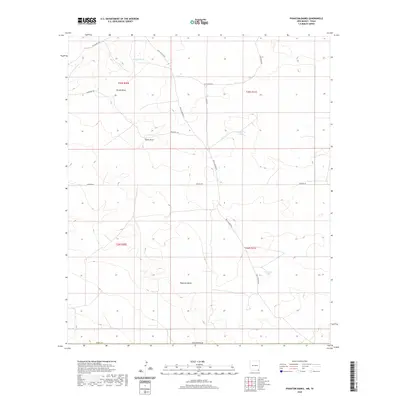
2020 Map of Phantom Banks
USGS Topo · Published 2020About this map
Phantom Banks anchors this high-desert landscape in southeastern New Mexico, where the dry topography of Eddy County is defined by a series of essential water catchments and drainage patterns. The area is marked by several named watering points such as Lone Tree Tank, Big Seep Tank, and Goekleberry Tank, which highlight the critical role of water management in this arid environment. Natural drainage features including Brushy Draw and Tucker Draw carve through the terrain, illustrating the hydrologic character of the region.
Find a feature on this map
19 named features on this map. Tap any name to fly to it.
Don’t see what you’re looking for? This feature index may not catch every label — zoom into the map to look around manually.
Map Details
Editions of this 2020 Phantom Banks Map
This is the sole edition of this map. No revisions or reprints were ever made.
Other maps of this area

1925 · Orla 2-b
USGS Topo · 1:48,000

1931 · Orla
USGS Topo · 1:62,500

1954 · Hobbs
USGS Topo · 1:250,000

1954 · Pecos
USGS Topo · 1:250,000

1957 · Pecos
USGS Topo · 1:250,000

1958 · Hobbs
USGS Topo · 1:250,000
1968 · Pierce Canyon
USGS Topo · 1:24,000

1968 · Orla NE
USGS Topo · 1:24,000
1968 · Red Bluff
USGS Topo · 1:24,000

1968 · Phantom Banks
USGS Topo · 1:24,000